Coordinates Tool
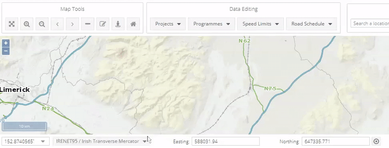
The Coordinates tool is new to PMS and is now an easy way to find exact coordinates. You can use your cursor to hover over the map and it will give you the coordinates
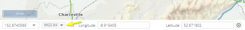
GPS : Global Positioning System in PMS will give you an exact longitude and latitude.
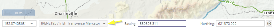
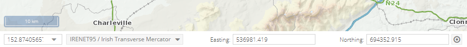
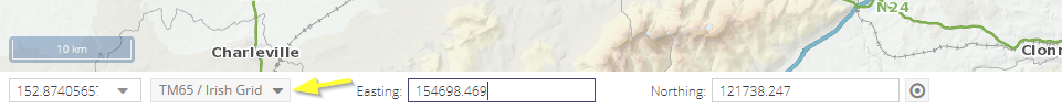
ING : This is Irish National Grid. In PMS when you are in either ITM or ING the coordinates will be Easting & Northing.
ITM : Irish Transverse Mercator is the geographic coordinate system for Ireland. It was implemented jointly by the Ordnance Survey Ireland (OSi) and the Ordnance Survey of Northern Ireland (OSNI) in 2001. The name is derived from the Transverse Mercator projection it uses and the fact that it is optimised for the island of Ireland.