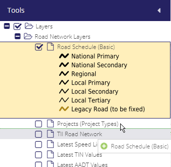
Layer Context Tools
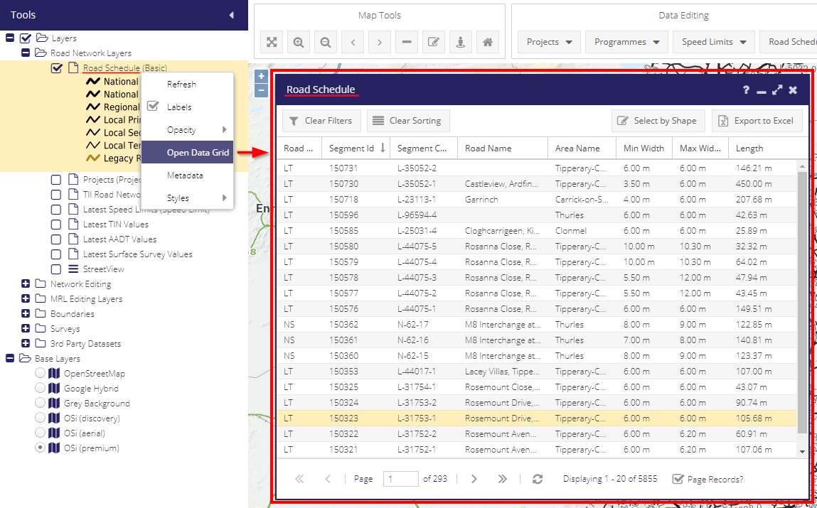
To access the options below the user needs to right-click on a desired layer to interact with. The Layer Tree Context Menu contains:
Refresh - if database has been updated externally e.g. PSCI upload (Some layers such as projects will be updated automatically when saved in the browser).
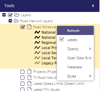
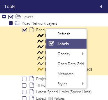
Labels - When turned on map labels are displayed (there are exceptions to this, e.g. arrows in Network Editing).
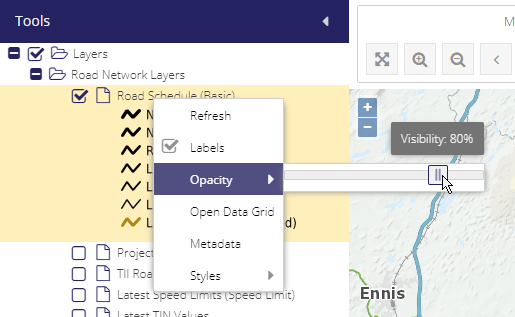
Opacity - Gives the user the option to reduce or increase a specific layer’s opacity.
Open Data Grid - Opens the index form relative to the type of entry related to the chosen layer.
Layer repositioning - Lets the user click and drag the map layers up and down, to make them appear under or over other layers (when doing this, a dashed line appears to represent where the layer will be dragged to).
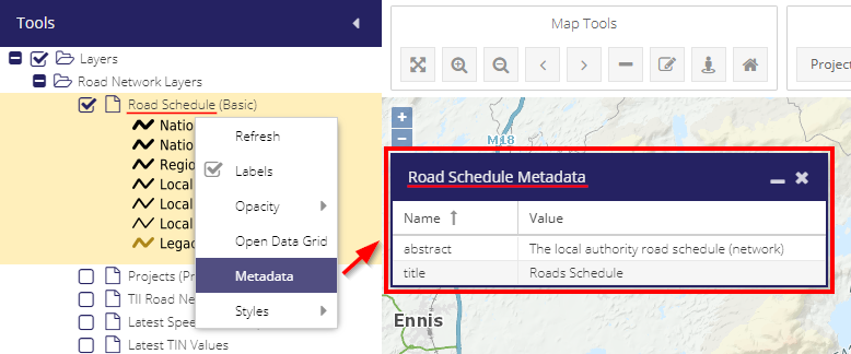
Metadata - Reads metadata from the WMS/WFS service. This would be available in MapInfo (Not used too much at the moment. Various ownership, attributes etc.. can be added over time).
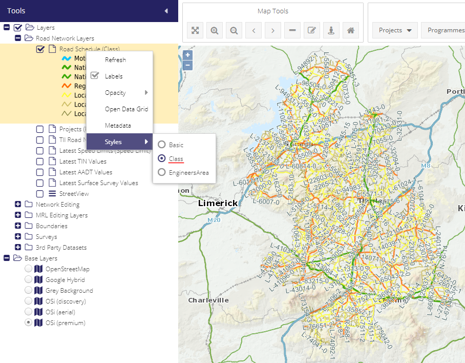
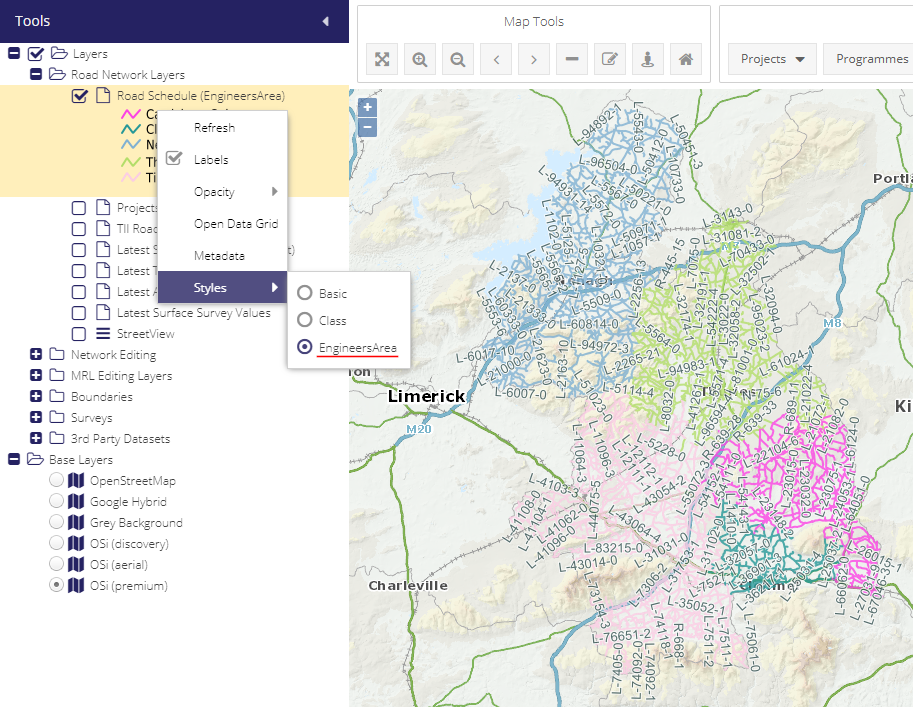
Styles - Road Schedule switch (Layer updates).
Basic - Default map style.
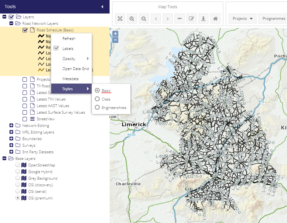
Class - Displays color coded sections of the layers representing different classes.
EngineersArea - Displays color coded sections of the layers representing different engineer areas.
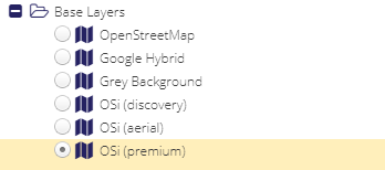
Base layer - Turns on and off any base layer selected. Could be useful to remove all backgrounds to only see map layer overlays.