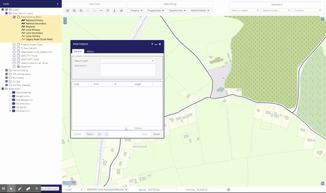
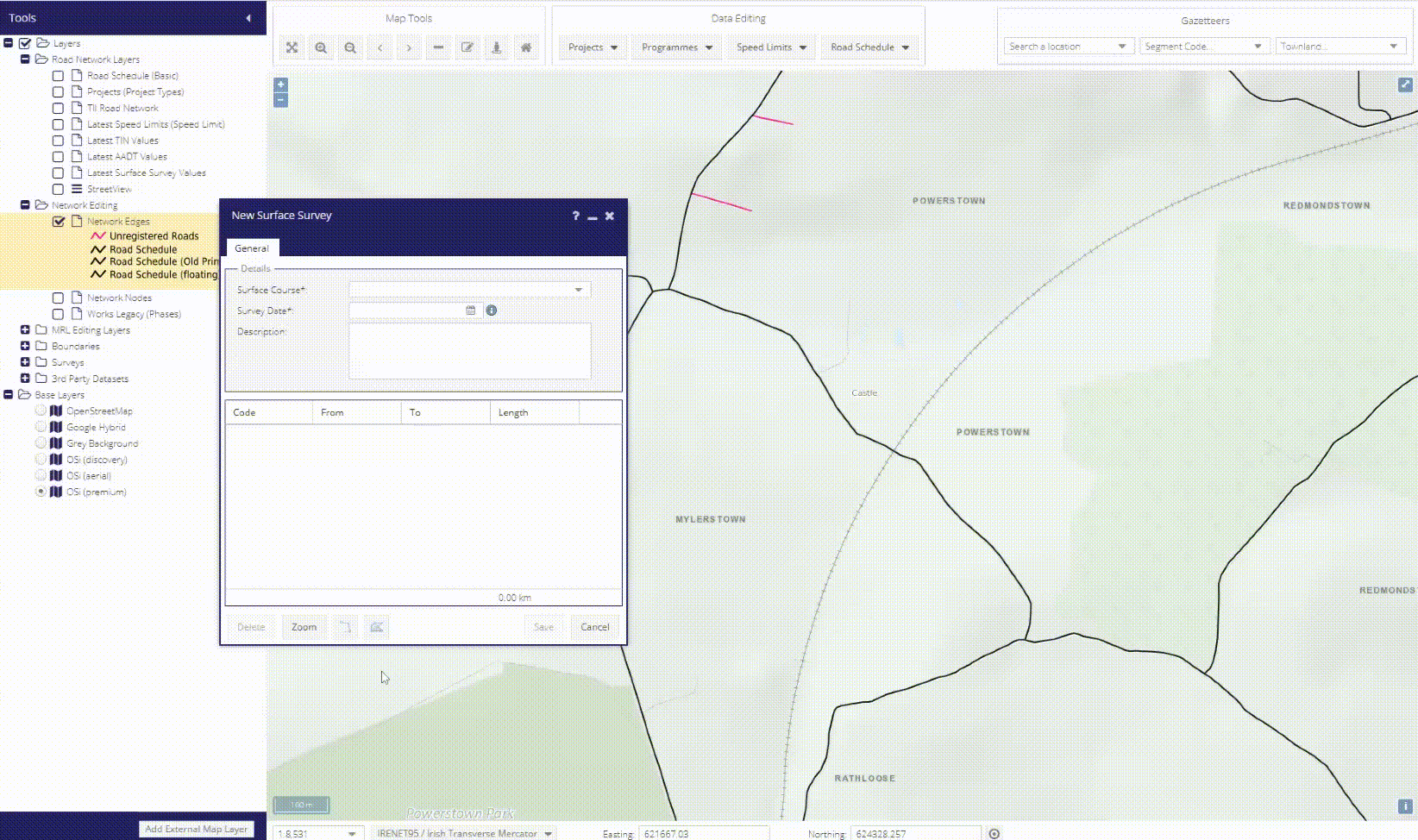
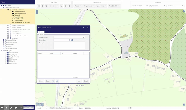
Digtising Tools
Digitising tools are available in forms which require the creation of features. Maproad PMS uses three tools for digitising features:
Line Tool  
Create the first point by clicking blue cursor on the Road Schedule.
Create subsequent points by clicking elsewhere on the Road Schedule.
Hold down CTRL when clicking on a point to remove it.
Right-clicking will show a context menu allowing the user to “Clear All” features.
See also Automated Chainage Calculations
Polygon Tool  
Create the first point by clicking blue cursor on the basemap.
At least three points are required to draw a polygon.
The last point should match the first point to close the polygon.
If a new polygon does not contain Road Schedule features, the user will receive an error message.
Right-clicking will show a context menu allowing the user to “Clear All” features.
Polygons can also be drawn freehand by pressing the SHIFT key.
Circle Tool  
Create the first point by clicking blue cursor on the basemap.
Leave go of the mouse button and move the cursor in any direction.
Click again finish drawing.
Use the pop up dialog to increase or decrease the radius.
Hit Apply to finish the drawing and save the circle polygon.
If a new polygon does not contain Road Schedule features, the user will receive an error message.
Right-clicking will show a context menu allowing the user to “Clear All” features.