Gazetteers
A gazetteer is a geographical dictionary or directory used in conjunction with a map or atlas. It typically contains information concerning the geographical makeup, social statistics and physical features of a country, region, or continent. Content of a gazetteer can include a subject’s location, dimensions of peaks and waterways, population, gross domestic product and literacy rate. This information is generally divided into topics with entries listed in alphabetical order. In this case it’s used to find roads.
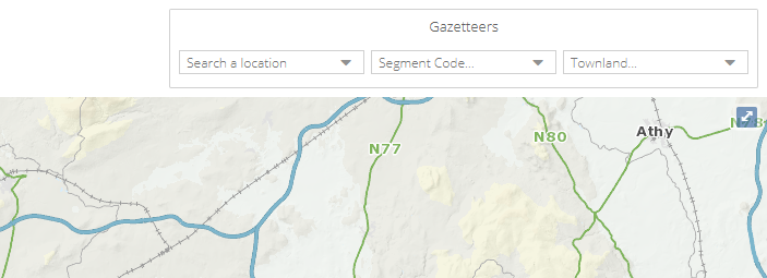
The Gazetteers in PMS are situated on the top right of the screen. Two gazetteers are included:
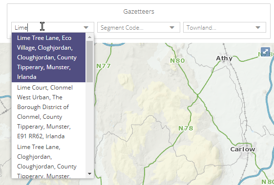
A location gazetteer to search for a location name
A road gazetteer, so search for a road using its code e.g. R-705
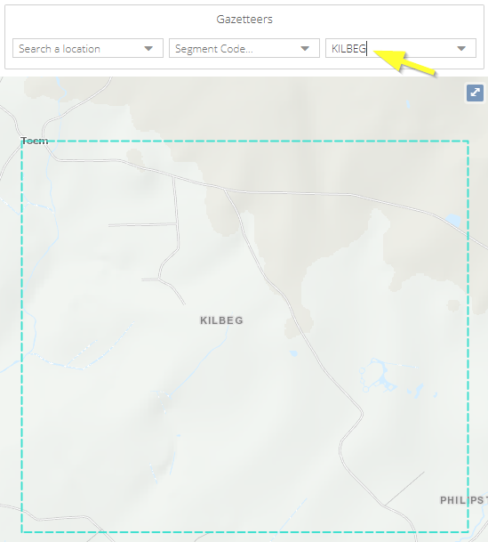
A townland gazetteer to search for a townland name
Once you start typing, suggestions will be automatically displayed, and can be selected.
When an item is selected PMS will automatically zoom to the feature on the map, and its extent will be highlighted by a cyan coloured box. You can click on the edge of the box to remove it, or delete the text in the gazetteer.