PMS 4.6 Release Notes
Released 12/06/2020
The 4.6 release includes 2 user interfaces - the classic UI and the new user interface. The new UI includes 8 new data entry forms, and 11 new map layers.
In time all functionality in the current release will be moved to the new UI. For this release new data entry modules are available in the new UI, relating to MapRoad Licensing integration.
See Leaflet MRL Demo for further details.
Both user interfaces use the same database and web services, although there are two sets of mapping services. The new WFS/WMS services can be accessed via URLs such as those below, replacing the LA name as necessary:
UI Changes
The new PMS UI is available at the following URL (replace the LA name as necessary):
3 new data entry modules are available in the 4.6 release:
The Speed Limits Module has also been migrated to the new UI, however it also remains available in the classic UI.
Current UI Changes
These are changes made to the existing UI found at URLs in the format: https://tipperary.maproadpms.ie/pms/
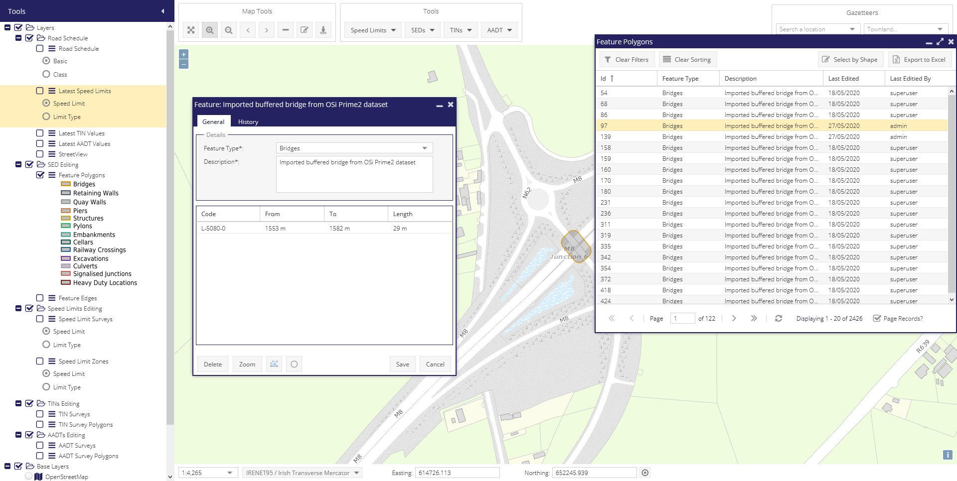
Old MapRoad bridges layer removed
If there is a filter set on the Projects on the RP form it is automatically cleared prior to saving or updating
RUT ranges updated in the Works General grid have been updated. See https://support.maproadpms.ie/Ticket/1593
Previous
Now
0-3
0-3
3-5
3-5
5-7
5-10
7-10
10-25
10+
25+
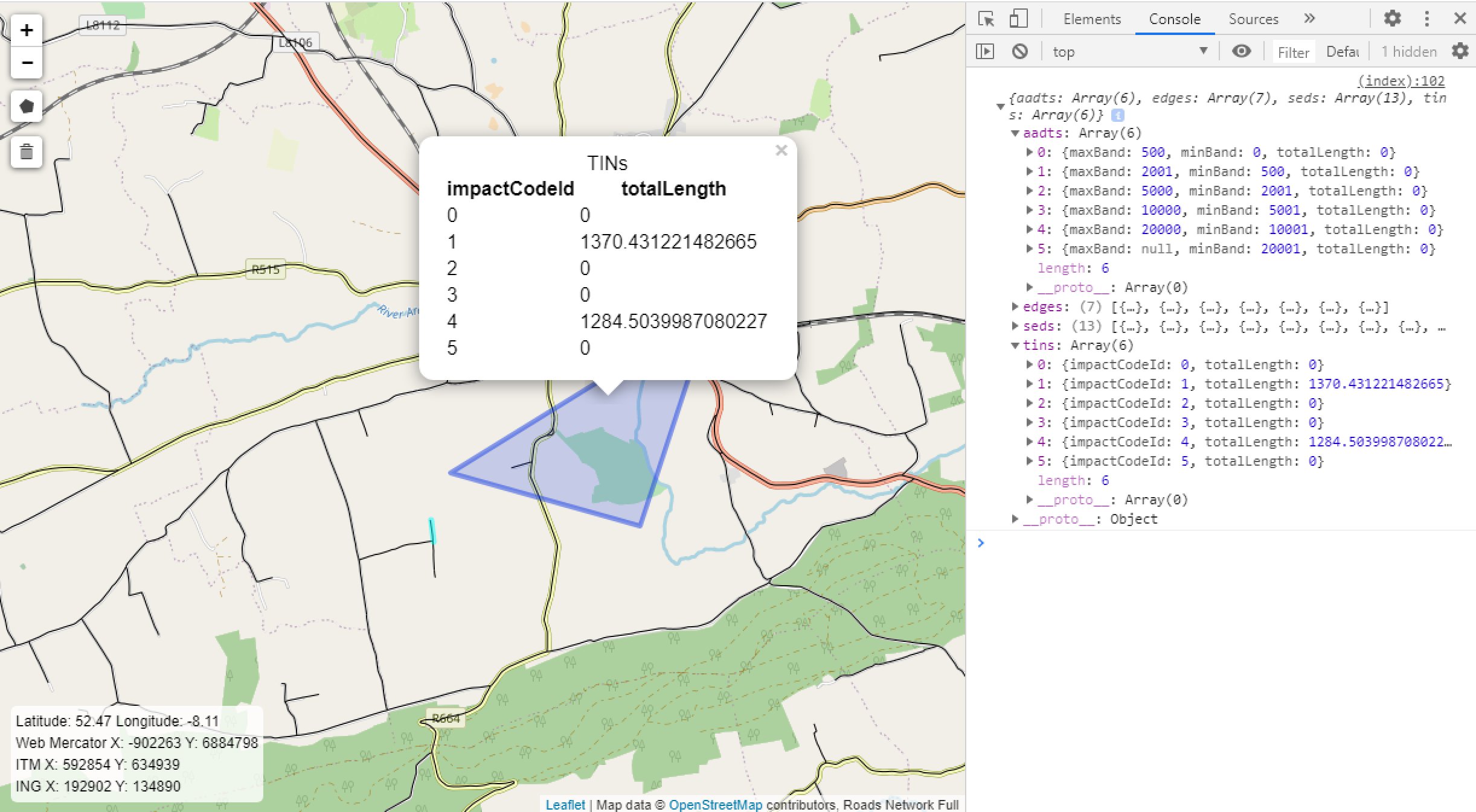
Traffic Impact Numbers (TINs) are now read-only on SegmentLegacyValues. The previous combobox has been replaced with a read-only text box displaying the highest TIN value for any of the edges in the segment, provided it accounts for at least 10% of the overall segment length. All reports updated to use edge-level TIN values, that are editable in the new UI. This involved changes to the following:
3 MapServer layers including MRL export layer
2 tables in the PMS database
2 stored procedures
5 database views
1 report - the “Road Schedule Report”
Report Updates
LA-wide Mechanical Data Export
Found on the PMS dashboard at Other Reports > LA-wide Mechanical Data Export
Experimental this data is also now available as a shapefile download with geometry chunks up to 100m in length. This can be accessed directly via a URL in the following format:
Note - due to the limitations of shapefiles field names are truncated to 10 characters. All fields in the Excel will also be available in the shapefile.
Pavement Works Report
Found on the PMS dashboard at Dynamic Reports > Pavement Works Report
“Works Year” column added
New “Funding Class” column added
New “Associated Roads Programmes” column added
This data is also now available as a shapefile download.
Miscellaneous Updates
The Microsoft ODBC Driver 17 for SQL Server (x64) has been installed on the back-end server. This is used by the new MapServer configuration, rather than the default SQL Server driver last updated in 2010.
Support Tickets
The following support tickets have been resolved in the 4.6 release.
New Reports https://support.maproadpms.ie/Ticket/1604
Conflicting data within different view fields in pms https://support.maproadpms.ie/Ticket/1593
Information disappearing from “Road Ends At” column https://support.maproadpms.ie/Ticket/1550
Dun Laoghaire LT Roads - Remove length from road schedule but keep other data https://support.maproadpms.ie/Ticket/1606
RUT ranges updated in the Works General grid have been updated https://support.maproadpms.ie/Ticket/1593