Leaflet MRL Demo
It consists of:
An Open Street Map base layer
An overlay of the Roads Network
A coordinates display
A toolset to draw and remove polygons
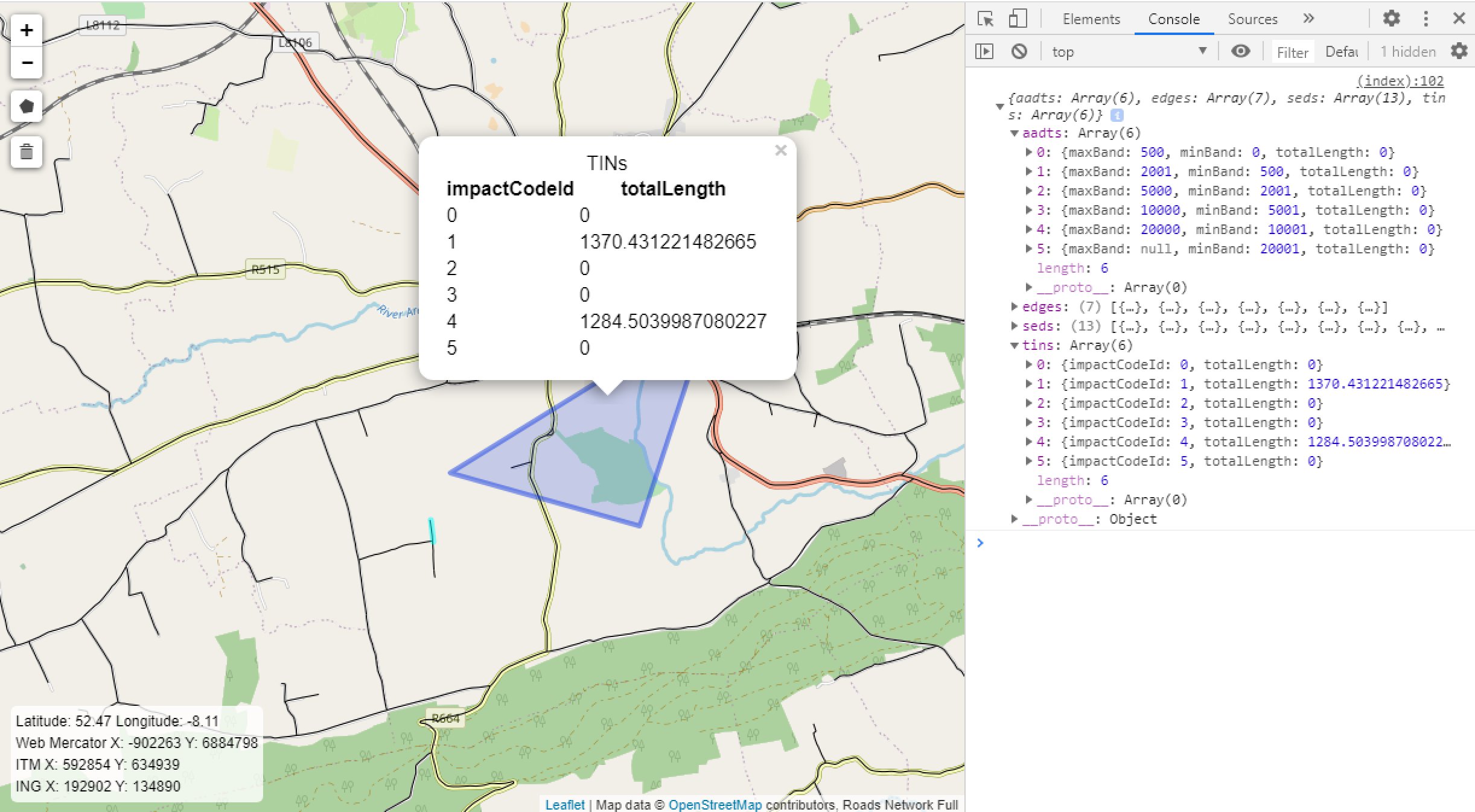
A service to return MRL data (AADTs, TINs, Edges, SEDs) for the road segments selected by drawn polygons
A simple popup system to display a selection of the returned data
Road Segment Information
Click on a road segment to open a popup data display of road schedule data for that segment.
MRL Information
Use the polygon draw tool to draw a polygon. Instructions will display as tooltips.
On closing the polygon a request will be sent to the data retrieval service.
If the request is successful a pop up will automatically open on the draw polygon.
- To view the entire data response:
Right-click the map and choose Inspect
Open the Console tab
Open the JavaScript object
Click the bin icon on the left side menu to remove polygons. Polygons can be removed all at once or one by one by clicking them.