Special Engineering Difficulties (SED)
Note
This page details forms and layers available in the new PMS UI from version 4.6 onwards.
Overview
The SEDs module is used to create polygons representing a Special Engineering Difficulty. Any roads that fall within this polygon are marked as having the SED.
The SED module in PMS consists of the following forms:
The following map layers are available (through the UI and also by WFS/WMS):
SED’s Layers and Grids - this layer shows the areas of road covered by each SED
SED Values
Bridges
Cellars
Culverts
Embankments
Excavation
Heavy Duty Locations
Piers
Pylons/Poles (e.g. HT Electricity, Lights, Cameras, Transmitter)
Quay Walls
Railway Crossings
Retaining Walls
Signalised Junctions
Special Surface Material
Structure
Background
Note SEDs also include Heavy Duty Locations.
These are locations where specific conditions and/or restrictions may apply due to the nature of the area vehicles that use it. For example, HGVs close to a port.
Data Import
Assign a Local Authority Id
Apply a spatial buffer of 10 meters
Create a Web Mercator projection
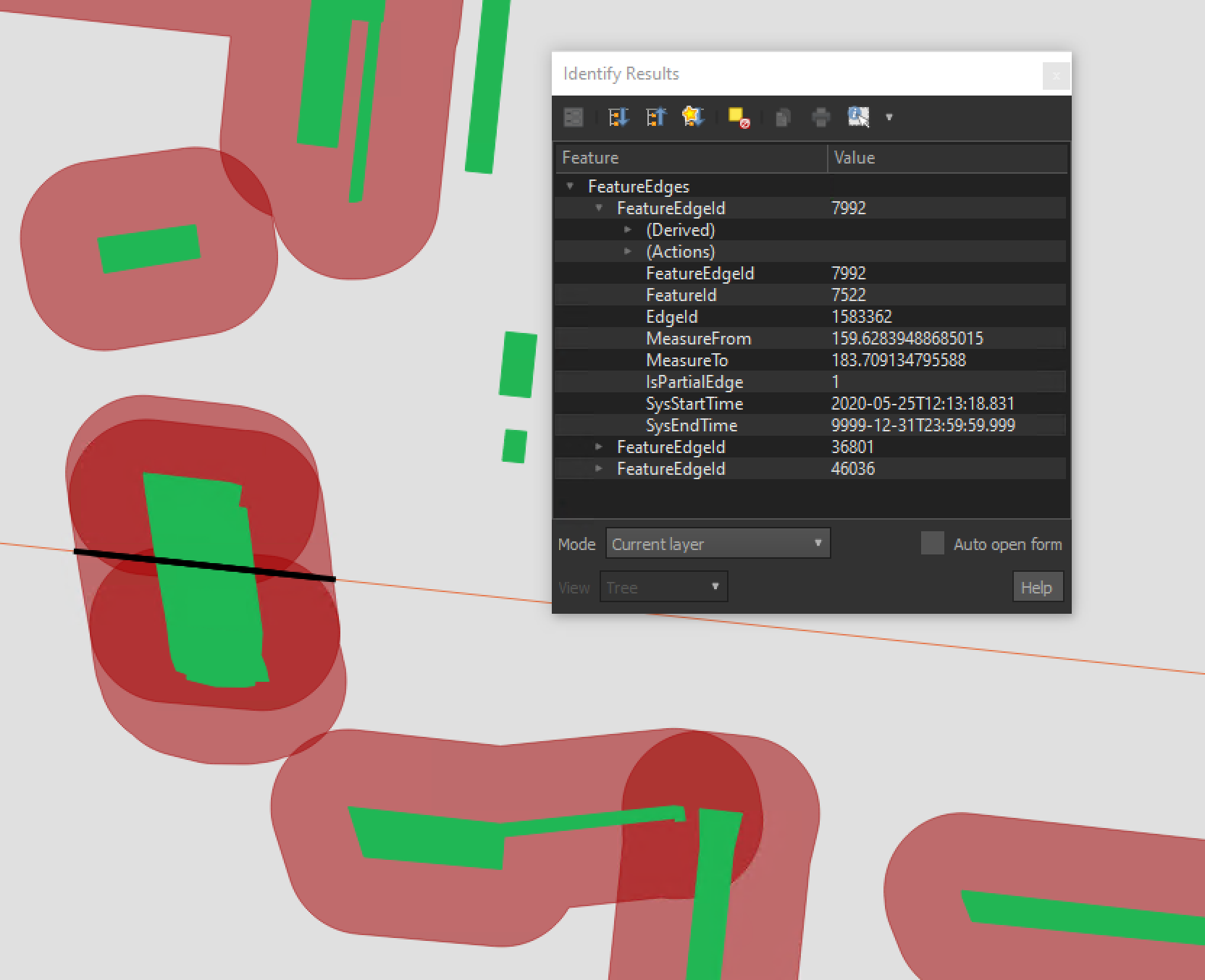
Buffered Zones (red) with intersecting edge (black).
FORM_VALUE |
FUNC_VALUE |
|---|---|
Bridge Draw |
Pedestrian Bridge |
Bridge Fixed |
Pedestrian Bridge |
Bridge Draw |
Multiple Use |
Bridge Fixed |
Aqueduct |
Bridge Fixed |
Multiple Use |
Bridge Fixed |
Railway Bridge |
Bridge Foot |
Pedestrian Bridge |
Weighbridge |
Not Applicable |
Bridge Fixed |
Viaduct |
Jetty |
Not Applicable |