SED - Map Layers & Grids
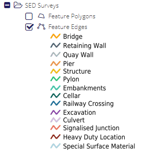
Feature Edges
The SED Features Edges Layer contains SED’s reperesented by Edges, representing the stretch of Road relevant to the Feature.
The Feature Edges grid can be accessed by right clicking the Feature Edges layer in the SED Surveys folder of the Layer Tree and selecting Open Data Grid from the context menu.
Feature Edges
WMS/WFS layer name: FeatureEdgesUnion
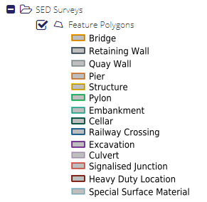
Feature Polygons
The SED Features polygon Layer contains SED’s represented by Polygons, representing the area relevant for the curveyed feature
The Feature Polygons grid can be accessed by right clicking the Feature Poligons layer in the SED Surveys folder of the Layer Tree and selecting Open Data Grid from the context menu.
Feature Polygon
WMS/WFS layer name: FeaturePolygons