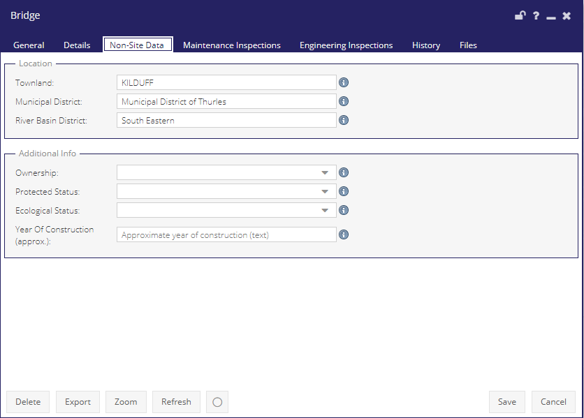
Bridges - Non-Site Data Tab
Location
Townland: The Townland in which the bridge is located e.g Naas, Navan.
Municipal District: The municipal district in which the bridge is located. (A municipal district is a second-level local government area in Ireland which came into being on 1 June 2014, ten days after the local elections).
River basin district: the river basin in which the bridge is located e.g the Boyne, the Suir.
Additional Info
Ownership: The ownership of the bridge may come down to a range of organisations such as the Local authorities, OPW (Office of public works), Irish Rail, Waterways Ireland or they may be privately owned.
Protected Status: Does the river have protected status? These can be issued by the NIAH (National inventory of architectural heritage), CDP(Carbon disclosure project).
Ecological Status: These are overlooked by SAC(Special areas of conservation), SPA (Special protected area’s).
Year of Construction: The approximate year the bridge was built.