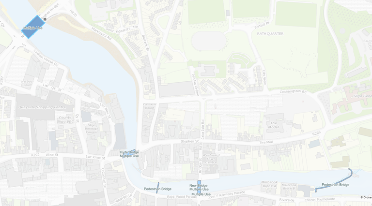
Bridge Polygons from OSi’s Prime2
This layer displays any of the structures marked as a bridge in Prime2.
Note this layer only appears at a scale of 1:25000 (as these are polygons they are hard to see at a scale further out than this).
Polygons are highlighted if they have an associated record in MapRoad (the OSi GUID is recorded in the bridge.Structures table in the
OsiGuidfield to maintain this link).Labels can be turned on (by right-clicking on the layer) showing bridge type and name (where present). Bridge types in Prime2 currently only include “Multiple Use” and “Pedestrian”. There are several additional Prime2 classifications which will be applied to these polygons over time.

Sample Map of Sligo Bridges