Traffic Impact Numbers - Form
General Tab
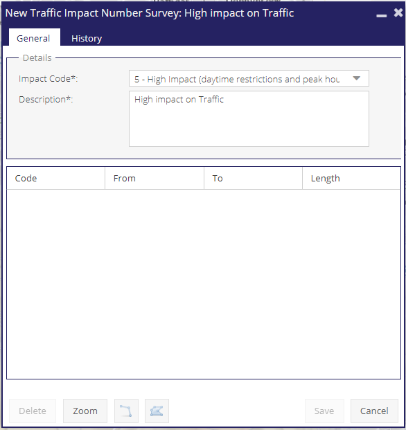
The General tab of the TINs form contains an Impact Code drop down and Description field both of which are mandatory fields that must be complete before the TIN survey can be created, these are marked with an asterisk (*).
TINs can be created using either the “Line Tool” or the “Polygon Tool”.
Spatial Tools
 Polygon Tool: Use to create surface survey zones.
 line Tool: Use to create surface survey edges.
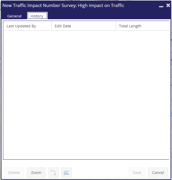
History Tab
The History tab of the TINs form shows when the survey was last edited, by whom, and the length of the TIN survey at that point in time.
Note - system edits made by superuser are hidden in this list.