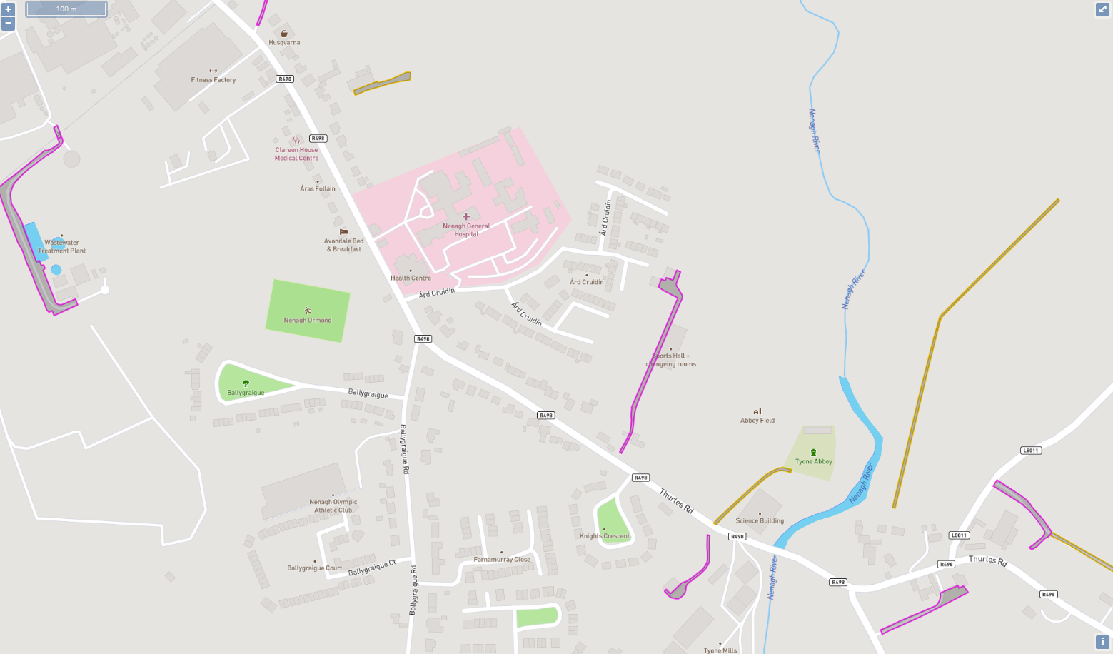
Polygons from OSi’s Prime2
This layer displays any of the ways/paths marked as a polygons in Prime2.
Note this layer only appears at a scale of 1:25000 (as these are polygons they are hard to see at a scale further out than this).
Polygons are highlighted if they have an associated record in MapRoad (the OSi GUID is available in the table but set as a hidden column).
- Prime 2 Polygons in PMS currently only include 5 types:
6th = Driveway
7th = Tractor Road
8th = Bicycle Road
9th = Walk General
10th = Walk General
Sample Map of Tipperary Prime2 Polygons