Latest Speed Limits
This map layer displays the current speed limit for every section of road, based on a combination of default speed limits, and additional byelaws etc. The layer takes the default speed limits for each road segment, and then adds all later speed limits on top of this.
The following rules are used for calculating the latest speed limit:
If no “Date Commenced” has been set for a speed limit then it defaults to 1900-01-01
Cautionary and Proposed speed limits are ignored when calculating the latest speed limits for a road
Any speed limits that have expired are ignored in the Expiry Date is before the date the report was last calculated
Data for this layer is added to the system via the Speed Limits Form.
This layer is found under the Latest Surveys folder of the layer tree.
The WMS/WFS name for this layer is SpeedLimitSurvey.
Latest Speed Limits Grid
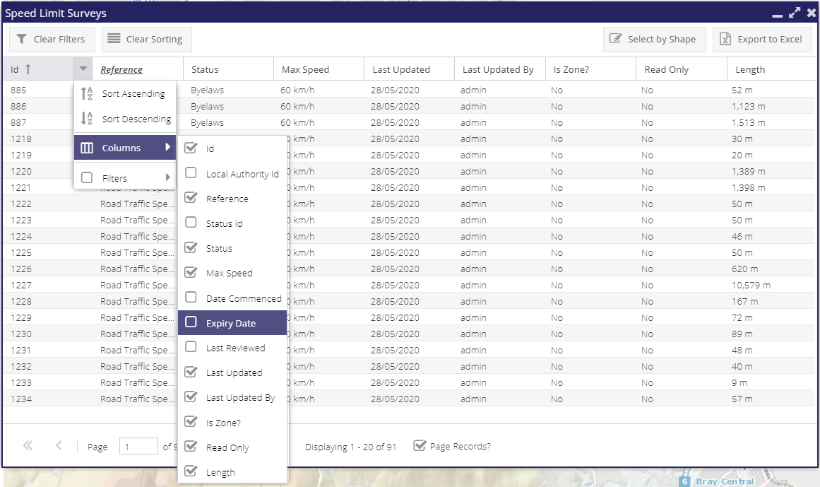
For general functionality available in the grid window see the General Grid documentation.
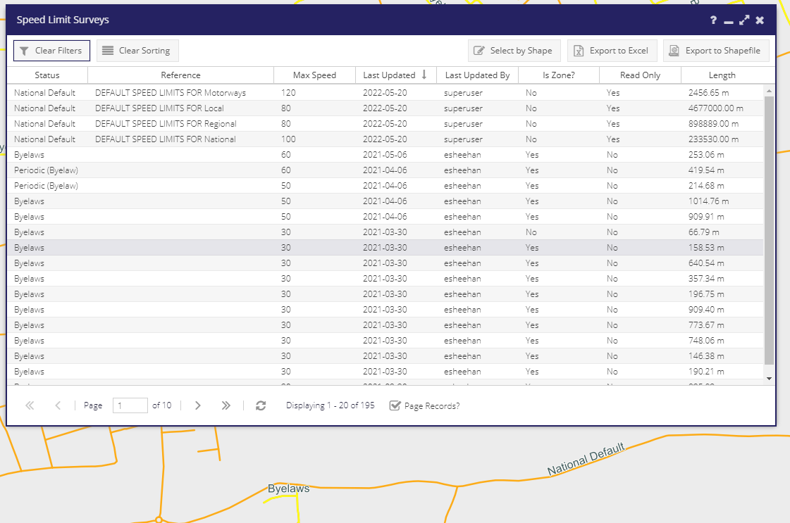
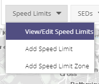
To view and edit/delete a previously created Speed Limits a user can click on View/Edit Speed Limit under the Speed Limits drop drown menu. This will open the Speed Limits Grid window containing a list of all the Speed Limits for your Local Authority. Double clicking on an entry will open the Speed Limits window with the information relating to that Speed Limit.
Speed Limits Surveys
This layer contains all speed limit surveys. See Speed National Defaults for more details on how this layer is constructed.
This layer is found under the Speed Limit Editing subfolder of the Speed folder of the layer tree.
The WMS/WFS name for this layer is SpeedLimitEdgesUnion.