Surface Surveys
Overview
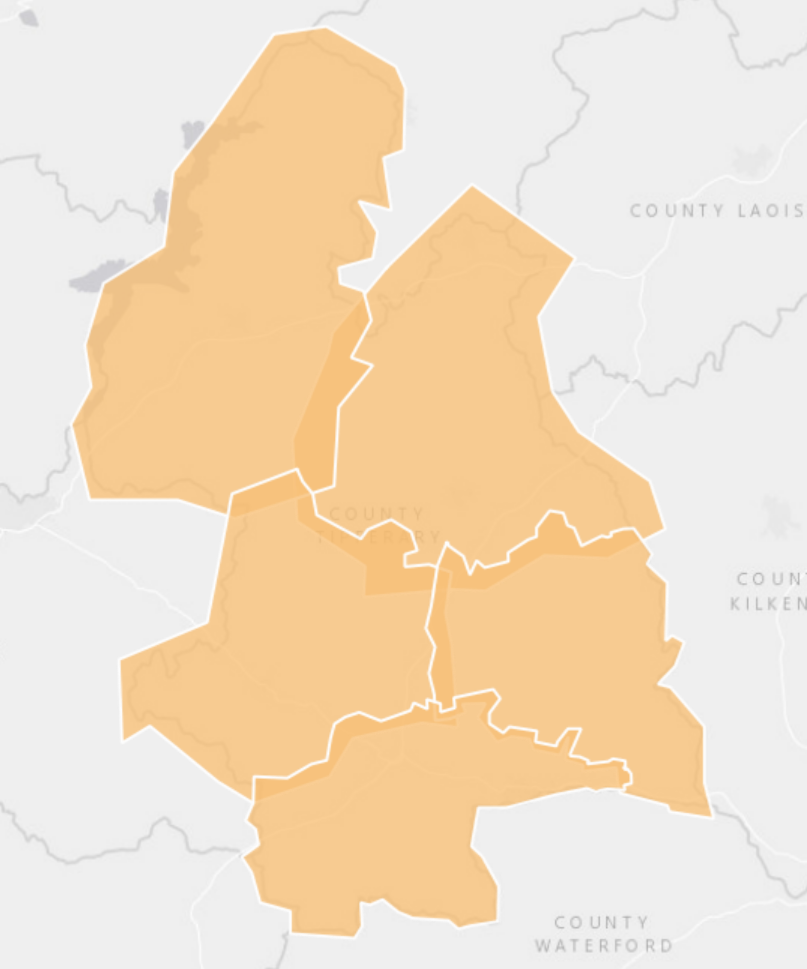
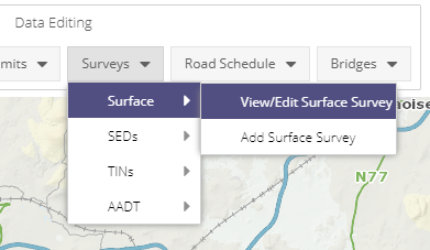
The Surface module is used to capture information in relative to the Surface Course Material that can be found on a section of Road, either as stretches or by zone. Thhis module and its componants can be found under the Surveys dropdown of the Road Editing toolbar.
To view all previously created Surface Surveys, a user can click on View/Edit Surface Survey. This will open the Surface Survey Edges Grid window containing a list of all the Surface Inventory Surveys for your Local Authority. Double clicking on an entry will open the Surface Inventory Survey window with the information relating to that Surface Survey. Surveys can be edited/deleted from this form.

Surface Survey Form
The Surface Inventory Survey form contains general details and locational information about a Surface Inventory survey. There are mandatory fields that must be completed before the survey can be created, these are marked with an asterix (*). See below for a list of fields and their descriptions.
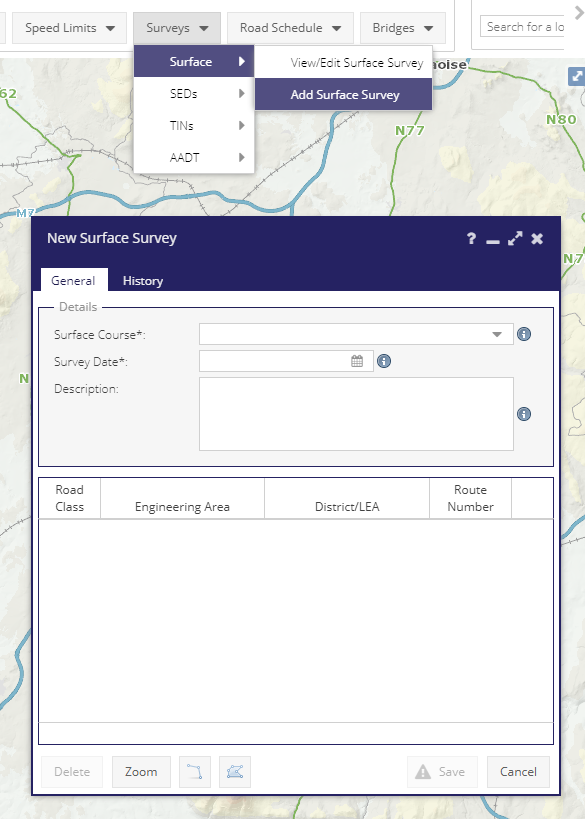
General Tab
Surface Course*: The surface course material.
Survey Date*: The date of the survey.
Description: Free text description of the survey.
History Tab
The History tab of the Surface Survey form shows when the survey was last edited, by whom, and the length of the Surface survey at that point in time.
Note - system edits made by superuser are hidden in this list.
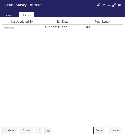
Surface Survey History Tab
Spatial Tools
 Polygon Tool: Use to create surface survey zones.
 Line Tool: Use to create surface survey edges.
Map Layers & Grids
For general functionality available in the grid window see the General Grid documentation.
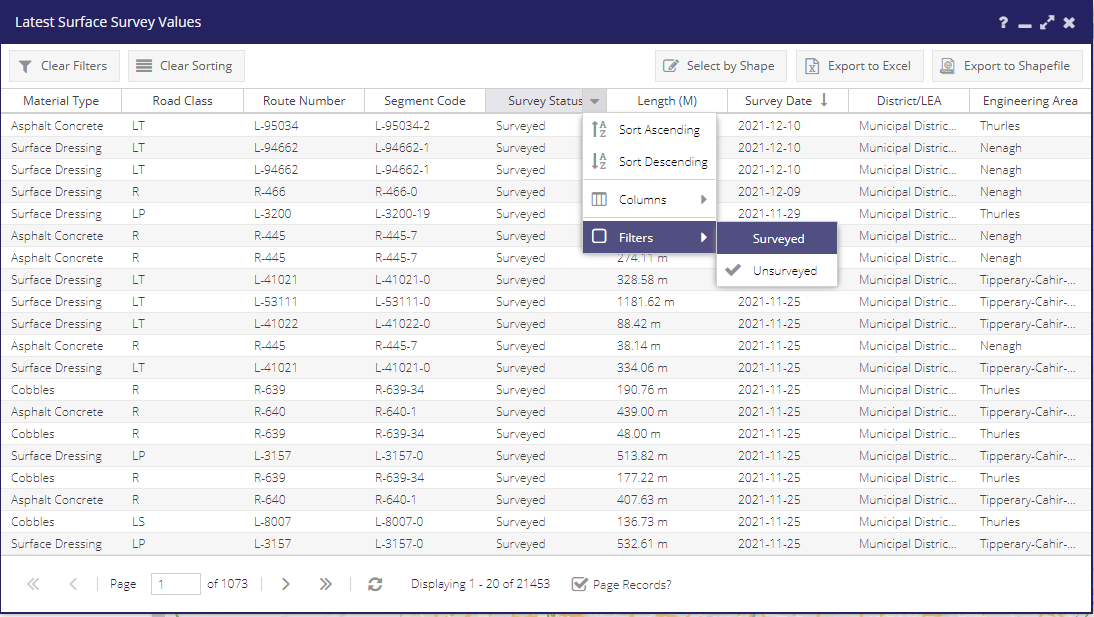
Latest Surface Survey Values: Displays the latest survey for a stretch of network.
Surface Survey Edges: Displays all surveys for the network. More recent survey will be shown on top.
Surface Survey Polygons: Shows the polygon areas used to mark up zoned surveys.
Latest Surface Survey Values
Two styles are available for the layer via the Styles dropout:
- Material - The Type of material used for the surface

- Survey Status - Reflects if the Road has undergone a Surface Survey

Surface Survey Edges
Surface Survey Edges contains a list of all Surface Surveys. It can be accessed via the Surface Survey Menu or via the Surface Survey Edges layer.
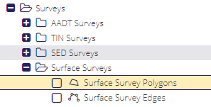
Surface Survey Polygons
The Surface Survey Polygons Grid contains a list of all Surface Survey Zone polygons. It can be accessed via the Surface Survey Zones layer by Right-Clicking on Layer Tree selecting Open Data Grid from the Fly-Out menu.